8.9.13 - 8.11.13 (2 Nights)
~ 24.8 miles
~ 4100 ft. +
Aspen Grove Trail-head,
Fish Creek Campground,
San Gorgonio Peak,
Return same route.
From the Aspen Grove trail-head we began after sunset beneath a sliver moon. Picture (right) was taken on return. The trail head is reached by heading south from 38 along rough - at times - dirt roads. This is the country that is home to the Santa Ana River headwaters.
As the name suggests, the trail winds through a grove of aspens on its way to Fish Creek Meadow.
Picture of Fish Creek Campground - where we spent a night both prior to and after the summit.
The trail crosses Fish Creek several times. Will (right).
Another Fish Creek crossing. Josh (left).
The trail crosses into National Forest Lands shortly before Fish Creek Meadows.
Picture of Fish Creek Campground - where we spent a night both prior to and after the summit.
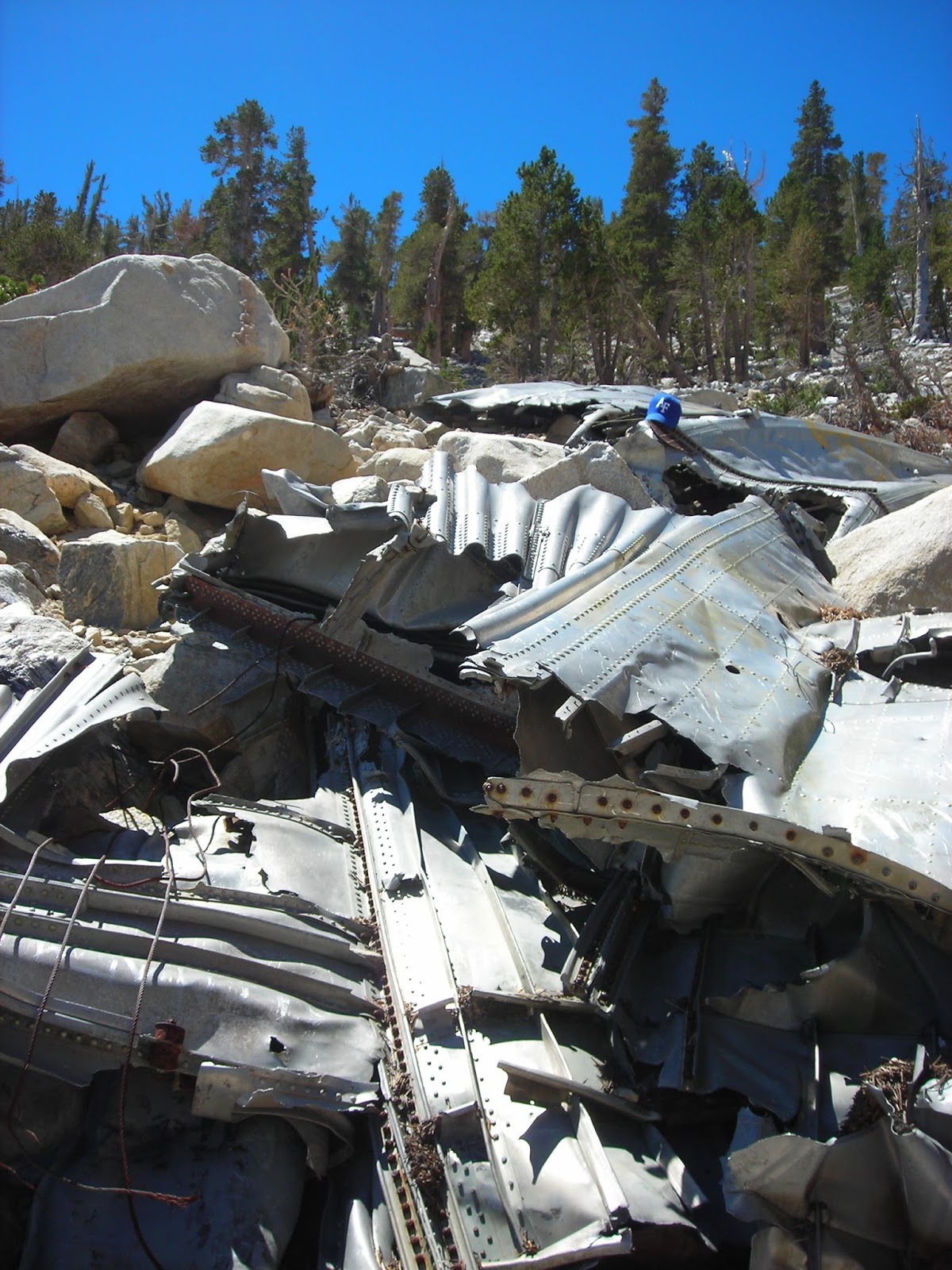
From Fish Creek Campground, we ascended to Fish Creek Saddle, then Mine Shaft Saddle. At this altitude, pine stands begin to thin and the trail becomes rather rocky. At a point before the summit split the trail literally bisects an aircraft crash site seen here, (right).
A close-up of the wreckage with an Air Force hat left in memorial.
Plaque at the crash site.
Trail leading towards the summit split.
Josh, at the busy boulder strewn summit, (right). The folks in the background were waiting for their turn with the marker, (bellow).
View from the summit.
Josh and Will at the summit.
Scott, at summit. We returned via the same route spending one night at Fish Creek Campground before making the roughly 4 miles trek to Aspen Grove trail head.


No comments:
Post a Comment